Our SponsorsILGISA would like to thank the following companies who support ILGISA's mission through annual sponsorship. Interested in joining as an annual sponsor? Gold Sponsors
Silver Sponsor
|


|
|
With a team of 350+ innovative problem-solvers nationwide, we stand with integrity behind thousands of projects that strengthen communities and our country’s infrastructure, economy, and environment. Clients notice our project managers’ ability to translate and transform every detail into actionable, understandable, smoothly coordinated pieces of a successful project. Side-by-side with our client partners, our project managers serve as the confident, communicative navigators at the helm of each project. Their tools and expertise include civil and municipal engineering, transportation, structural design and inspection, river engineering and water resources, architecture, mechanical/electrical/plumbing engineering, landscape architecture, environmental, geospatial, planning and development, and telecommunications and SUE. |
|
CDI is a leading geospatial consulting and integration firm, specializing in unlocking enterprise-wide mapping intelligence and building the foundation for next-generation systems. We empower organizations to transform vast, complex data streams and document stores into strategic advantages and superior decision-making. Our experts design, develop, and integrate future-focused GIS capabilities, leveraging modern techniques like GeoAI, cloud-native architectures, and real-time analytics. CDI offers a full spectrum of solutions—from strategic governance roadmaps to application development—to help clients address critical challenges and achieve greater operational efficiency. We deploy high-value projects and enable powerful data visualization, predictive modeling, and business intelligence using industry-leading platforms, including ArcGIS, Dynamics, Power Automate, SharePoint, Power BI and Laserfiche. Beyond technology, our highly knowledgeable professionals provide the essential specialized training and staff augmentation needed to fill skill gaps and accelerate your success. Partner with CDI to streamline backlogs, gain predictive insight, and ensure your geospatial investment delivers lasting impact. CDI helps you “Take Information Further.” |
|
|
|
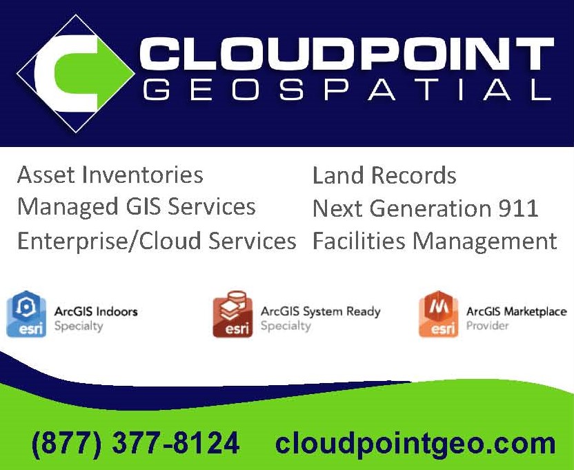
Cloudpoint is a dynamic geospatial solutions provider specializing in Geographic Information Systems (GIS) for organizations such as campus facilities, utilities, and local governments. As a trusted Esri business partner, you will find that our unique approach is in integrating a hands-on user experience and sensible solutions into an atmosphere that promotes knowledge transfer and sustainability for the end users. Contact us to help your organization get the most out of your location-based data! |
 |
EagleView is a technology provider of aerial imagery, data analytics and geographic information system mapping based in Bellevue, Washington in the Seattle metropolitan area with operations in Rochester, New York. |
 |
Horner & Shifrin is a multidisciplinary professional services firm with the experience and capability to serve a wide variety of clients throughout the United States. Founded in 1933 in St. Louis, H&S has grown to offer services to meet the ever-changing needs of our clients and to keep ahead of technological developments in the field of engineering. As a 100% employee-owned firm, every staff member has a personal vested interest in completing work to the satisfaction of our clients. We offer professional services in all phases of a project, from feasibility planning and development, funding application assistance, land survey and 3D scanning, environmental planning, to engineering design and construction administration, as well as GIS mapping services. |
|
Kara Company, Inc. is a family-owned business providing sales, expertise and certified repair of surveying and optical equipment. Founded in 1974, we support professionals across Illinois with expert service and support. |
|
 |
Platte River Analytics is a proud ESRI Business Partner and aims to promote business development with the utilization of location analytics and spatial business intelligence. Platte River Analytics assists companies with complex GIS data solutions and helps to solve important business questions with the aid of interactive mapping and dashboards. Platte River also offers individual coaching and company wide GIS consulting and training. Contact them today if you need guidance with a project, training for technical staff or GIS consulting. |